Active summer dream in South Tyrol

Hiking and running

Striking summits with gleaming glaciers, beneath them green mountain meadows and alpine pastures , sweeping mountain forests where alpine flora and fauna hide ... Some of the most beautiful waterfalls and mountain lakes in the region, including Lake...

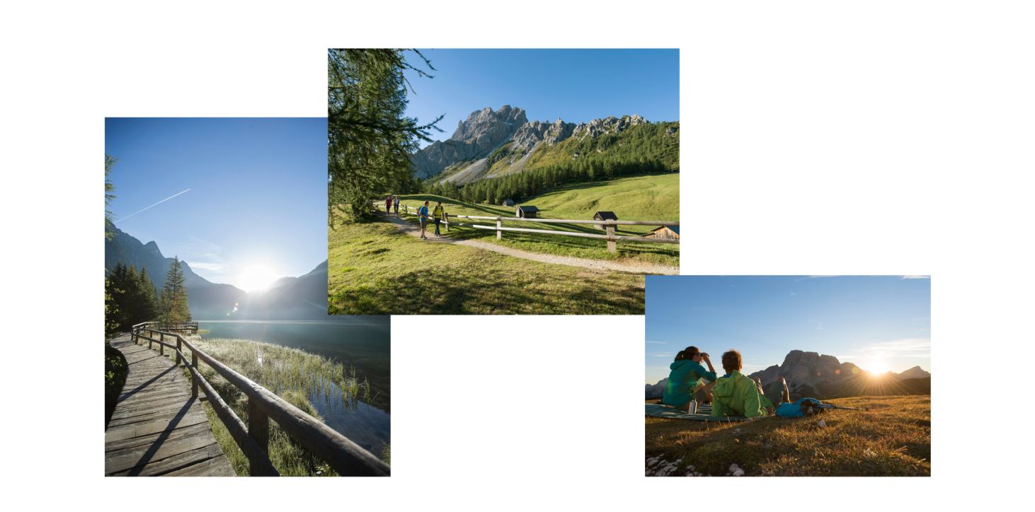
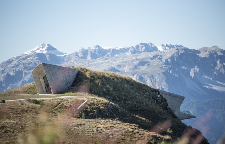
Striking summits with gleaming glaciers, beneath them green mountain meadows and alpine pastures, sweeping mountain forests where alpine flora and fauna hide ... Some of the most beautiful waterfalls and mountain lakes in the region, including Lake Braies, are found in the immediate vicinity and literally invite you to immerse yourself in nature.

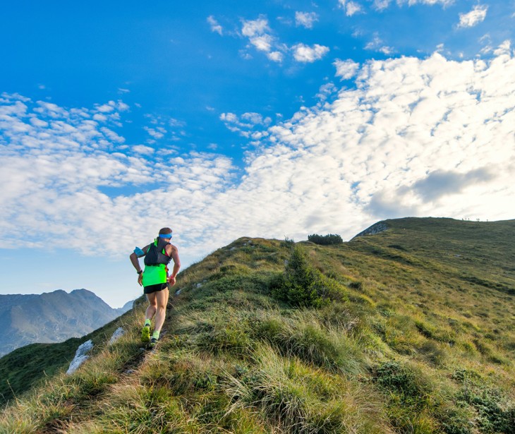
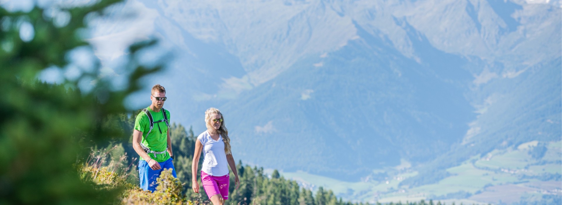
We have numerous hiking tips waiting for you.

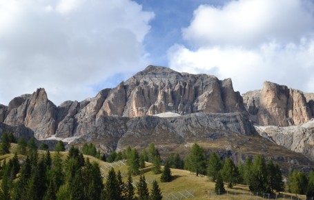
The Rieserferner-Ahrn Nature Park is located in the northern Puster Valley, between the Tauferer Ahrn Valley and the Antholz Valley. It takes its name from the characteristic Rieserferner Group mountain range. This also includes the 3,436 m high Hochgall, which towers majestically over Rein in Taufers.

Running routes around Reischach/Bruneck

Jogging on holiday

Running routes around Reischach/Bruneck

Jogging on holiday

  • Direct access from the hotel (jogging, trail running, uphill)

  • Various terrains/surfaces

  • Enjoyable runs in the Puster Valley forests, along the Rienz dam, or on well-paved paths

  • Personalized advice from the athletic Valentin and Christian

The heart is the core of the body and running strengthens the cardiovascular system. It is the key to health and fitness.

Hiking tips

Reischach - Haidenberg - Reischach

from Kronplatz valley station in Reischach

Starting from the Kronplatz valley station in Reischach, head to the left, always following marker 6. The path ascends gently at first and at Korerhof and Oberwelliserhof, you will reach Haidenberger Strasse (marker 12.4), which leads directly to Gasthof Haidenberg. Here, you have the option to take a marked, steep trail or the forest road. Gasthof Haidenberg is an ideal spot for a break!

The return path initially follows the forest road back to a crossroads (marker 12.4), from which you can then take a dirt track directly to the village of Stefansdorf. Walking along the pavement next to the road, you will return directly to the starting point in Reischach.

Pfalzen - Sambock - Brunecker Hausberg

from Platten

Drive via Pfalzen to the mountain hamlet of Platten (1,586 m; parking available near Gasthaus Lechnerhof). From there, follow marker 66A and the signs for Sambock, ascend steeply across the pasture into the forest. Continue on the old alpine path, which is laid with stone blocks, and later on the forest road to the Stockpfarrer mountain meadows, which offer beautiful views of the Dolomites.

Continue to the Jägerhütte, then ascend steeply via numerous steps and through a sparse pine forest to the treeline. A narrow trail then leads up to the scenic ridge called "Platte" (2,175 m). Finally, traverse the wide ridge, first almost flat and then somewhat steeper, up to the Sambock summit cross (2,396 m). The view is overwhelming! The Zillertal Alps, Rieserferner, Dolomites, Adamello-Ortler group, Ötztal, and Stubai Alps are all in view.

Kronplatz Hike

from Reischach

From Reischach, a road first leads to the Herrnegg car park. The ascent then begins via the so-called "Rodelbahn" (toboggan run – path with marker no. 1) up to the Bergfreundehütte. From there, cross over to the middle station of the gondola (forest road).

You then have the option to return to Reischach by gondola (July and August only) or descend via the panoramic trail (markers 8 and 4) past Gasthof Haidenberg and Stefansdorf back to Reischach.

Unique and one of Europe's largest

Nature.Fitness.Park.Kronplatz Dolomiti

For families, senior citizens, pleasure-seekers and active athletes – with a marked trail network spanning over 285 km through the magnificent natural scenery of Kronplatz and the Dolomites, offering many easy and moderately difficult routes, you...

For families, senior citizens, pleasure-seekers and active athletes – with a marked trail network spanning over 285 km through the magnificent natural scenery of Kronplatz and the Dolomites, offering many easy and moderately difficult routes, you will have a great time jogging or walking. The Nature.Fitness.Park Kronplatz Dolomiti begins at the foot of Kronplatz and extends through Bruneck, Pfalzen and Olang all the way into the Antholz Valley. The park is also equipped with exercise information boards.

Our offers